Guides · 2026-11-03
Where should I live? Why a quiz only gets you halfway, and how to shortlist properly
'Where should I live' quizzes are fun but rarely show their working. Here is a better way to build a shortlist around Nottingham and Nottinghamshire, using your own priorities and official figures.
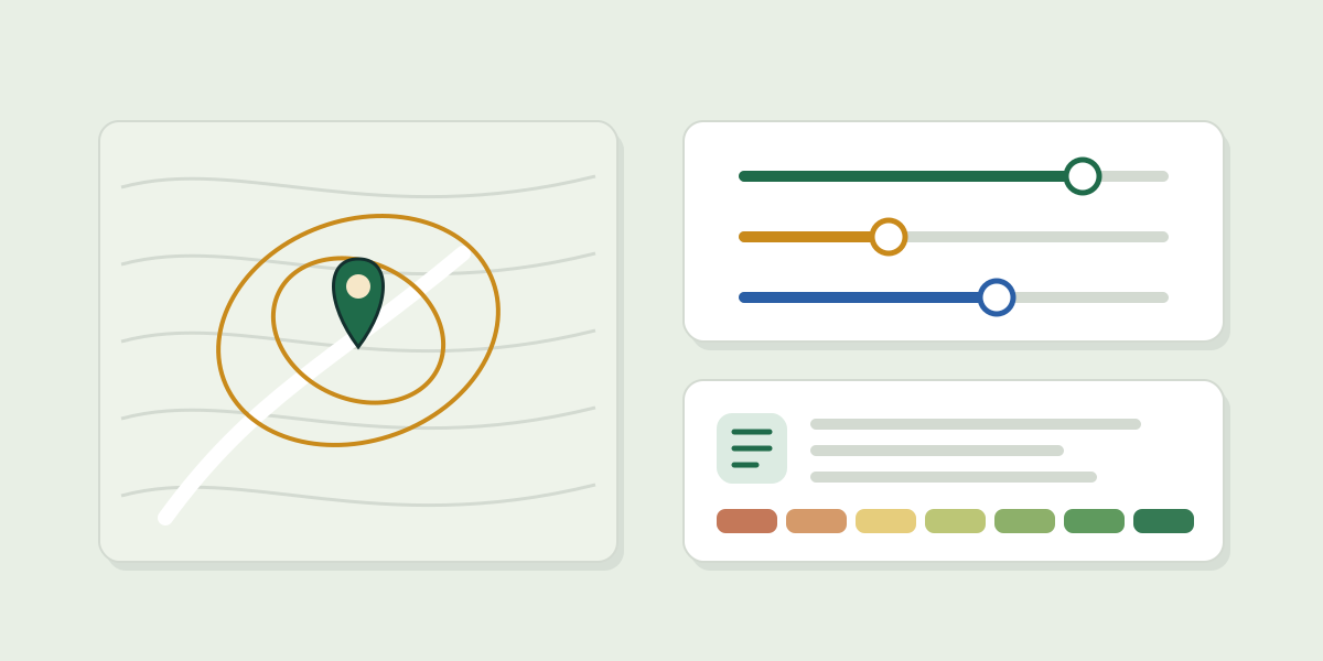
Online quizzes that tell you where to live are a fun ten minutes. The trouble is that most give you a single answer with no figures behind it, and no way to see why one place beat another.
Start with what matters to you
- Write down your non-negotiables first: a maximum commute, a school phase, a GP within walking distance, fast broadband, low flood risk.
- Then the nice-to-haves: green space, shops nearby, a quieter street.
- Decide what you will not trade. That is what turns a long list into a short one.
Then look at real figures
The answer changes a lot with your priorities. Ravenshead records 28 reports of crime per 1,000 residents a year, one of the lowest figures in the county, but has 2 schools within 3 km. Arnold has 31 schools in range but records 88. Southwell has a GP 0.4 km from its centre, but gigabit broadband reaches about 66.5% of homes. None of these is the best place to live; each is the best fit for someone.
How PlaceFit does it
PlaceFit asks what matters to you, then grades towns, villages and postcodes in Nottinghamshire and Nottingham against those priorities, with the source and date beside every figure. It never scores a place by who lives there, and it is a research tool, not advice on where you should live.
PlaceFit is free to explore: anyone can open every place page and see their top 5 matches with why they fit, and a free account adds a top 10 and 3 short AI summaries. Passes, for the full ranked list and reports, are £12.99 for 30 days or £24.99 for 6 months, one payment and never a subscription. AI-written parts are marked; they summarise the sources shown and can be wrong.
Set your priorities and see your top 5 · How PlaceFit scores a place · Full methodology and sources
Figures as published on PlaceFit's area pages on 22 October 2026, measured over about 3 km around each place's centre unless stated. Sources: police.uk street-level crime and anti-social behaviour, September 2025 to August 2026, per Census 2021 resident; Get Information about Schools (DfE); NaPTAN bus stops (DfT), within 800 m; NHS England GP practices and branch surgeries (ODS), straight-line distance; Ofcom Connected Nations (broadband July 2025, by postcode district); OS Open Greenspace and OS Open Zoomstack; Environment Agency Risk of Flooding from Rivers and Sea. Product details as shown on placefitapp.com on 22 October 2026 and in PlaceFit's checkout terms v3 (approved 18 October 2026). Contains public sector information licensed under the Open Government Licence v3.0.